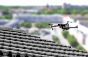
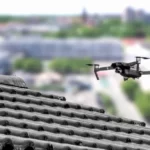
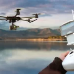
Do you know what is UAV? Here is everything you need to know.
An unmanned aerial vehicle (UAV) is a type of aircraft that operates without a human pilot onboard. The creation of numerous different types of sophisticated unmanned aerial vehicles used for various purposes has been made possible by recent technological advancements.
A drone is another name for an unmanned aerial vehicle. Discover more by reading on.
Table of Contents
What is UAV?
Unmanned aerial vehicles (UAVs), or drones, are operated remotely or autonomously without a human pilot on board.
UAVs are also sometimes referred to as unmanned aircraft systems (UAS) to emphasize the parts that are shared by all UAVs but the vehicle itself, such as the control system and the datalink that connects the vehicle to the control system.
Read More:
What is the Usage of UAV in Surveying?
Below is a list of the usage of UAV mapping:
1. Land Surveying Or Cartography
UAV mapping can assist in producing high-resolution orthomosaics and thorough 3D models in regions where there are no, little, or low-quality data available.
As a result, it is possible to quickly and effectively create high accuracy cadastral maps even in complex or challenging to access areas.
From the orthophoto, surveyors can also remove features like signs, curbs, road markings, fire hydrants, and drains.
After being post-processed with photogrammetry software, the same images can produce incredibly accurate elevation models, contour lines, and break lines, as well as 3D reconstructions of land sites or structures.
2. Land Management and Development
Topographic surveys for land management and planning are significantly accelerated and made simpler by UAV aerial photography.
This is true for site selection, allotment planning and design, and the actual building of roads, structures, and utilities.
The orthophoto is also used as the foundation for thorough topographic models of the site for engineering studies prior to construction.
Engineers can immediately start working from a 3D model using the generated data, which can be exported to any CAD or BIM software.
Due to the ease of replication and low cost of data collection by drones, images can be taken at regular intervals and superimposed on the original designs to determine whether construction is proceeding as planned.
3. Precise Measurements
Stockpile Volumetric Measurements
Volumetric measurements can also be obtained from the same photos using 3D mapping software.
This quick and affordable method of volume measurement is particularly helpful for figuring inventories in mines and quarries for inventory and monitoring.
With the use of a drone, surveyors can collect a much greater number of topographic data points, leading to more accurate volume measurements.
As opposed to physically traveling up and down a stockpile to gather data, they can do it in a much safer way.
Activities on the ground won’t be interfered with as drones gather data from above.
The quick acquisition time allows for the possibility of taking a site snapshot at any time.
Slope Monitoring
It is feasible to obtain slope measurements from DTMs and DSMs generated by drone photography using automated GIS analysis.
Based on the slope of the ground’s surface, the locations can be categorized and used for slope monitoring, including landslide mitigation and prevention.
Through the use of orthomosaics collected over time, it is possible to detect variations in earth movement and calculate its velocity.
This information can be used to anticipate landslides and protect roads, trains, and bridges from harm.
UAV enable more thorough data collection than conventional monitoring systems, which rely on sensors placed at specific locations.
As these locations are frequently challenging to access or even dangerous, PPK-capable drones that do not require the establishment of multiple GCPs are ideal for this application.
4. Urban Planning
Detail and extensive planning, which require time-consuming and expensive data collection, are required as metropolitan areas become more congested and complex.
Using UAVs, urban planners can gather enormous amounts of current data quickly and with a lot fewer staff members.
Planners can use the orthophotos created in this way to assess the current social and environmental circumstances of the places and consider the impact of various scenarios.
To give planners and other users an immersive experience, 3D models of buildings can also easily be overlaid onto their surroundings, which is especially useful for complex development projects.
What Are the Advantages of Using UAVs in Surveying?
Below is a list of the advantages of the usage of UAV for surveying and mapping:
Reduce Time Spent Collecting Data and Survey Cost
Using a UAV to collect topographic data is up to five times faster than using land-based methods and requires less manpower.
PPK geo-tagging allows land surveyors to save time because fewer GCPs are required when using PPK geo-tagging.
The survey data can ultimately be delivered more quickly and for less money by a surveyor.
Provide Accurate and Exhaustive Data
Total stations only measure individual points.
A single drone flight generates hundreds of measurements that may be represented in a variety of ways such as orthophoto mosaic, point clouds, DTM, DSM, contour lines, etc. The final map’s pixels and points in the three-dimensional model each contain three-dimensional geodata.
Mapping of Otherwise Inaccessible Areas
An aerial mapping UAV can take off and fly practically anywhere. Surveyors are no longer constrained by inaccessible areas, perilous steep slopes, or harsh terrain unsuitable for conventional measuring tools, and they are no longer required to close down the highway or train tracks.
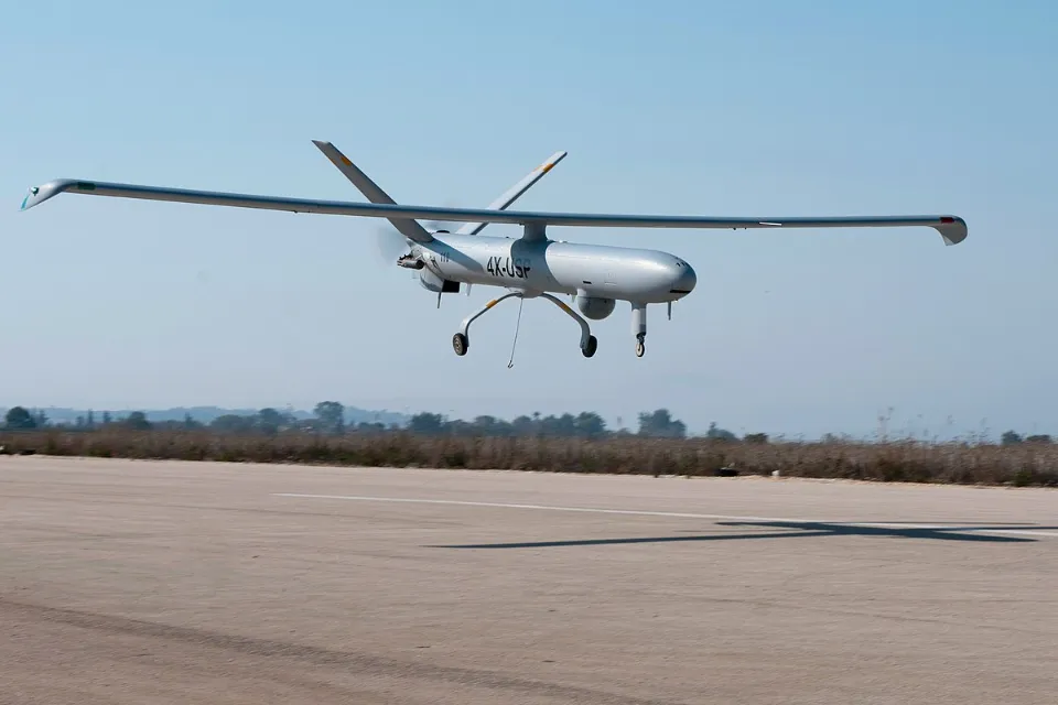
What is the Difference Between a Drone and UAV?
Drone
While “Drones” make most people think of “an unmanned aircraft that can fly autonomously—that is, without a human in control.” Quite a few different types of vehicles can actually be described using it. For instance, autonomous land or sea vehicles fall within the parameters of the term “drone” as used here.
Of course, the term’s most frequent use refers to an aircraft that is capable of remote or autonomous guidance. Unfortunately, the only aspect of this term on which most experts can agree is that a drone does not contain a pilot.
Uav
An unmanned aerial vehicle (UAV) is one. They are able to fly remotely such as with a controller or tablet or autonomously. So, is UAV a drone? Basically, it is. The two terms are often used interchangeably.
However, many industry experts feel that while drones do not require autonomous flight capabilities, UAVs do. UAVs are all drones, not the other way around. But for the time being, feel free to use your preferred phrase!
Final Words on What is UAV
In summary, an unmanned aerial vehicle (UAV) or uncrewed aerial vehicle, also known as unmanned aircraft or uncrewed aircraft (UA) – commonly known as a drone – is an aircraft without a human pilot on board.
UAVs’ flight can be remotely piloted by a person, or it can have varying degrees of autonomy, such as autopilot assistance, up to fully autonomous aircraft that don’t allow human intervention.